Best GIS Workstation: PC Specs for ArcGIS Pro, QGIS, and Large Spatial Data

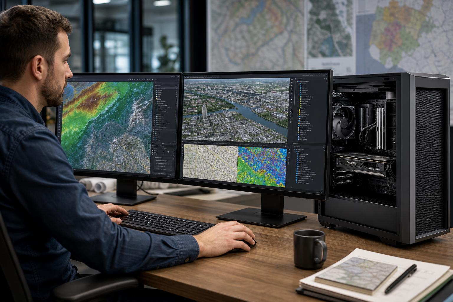
A GIS workstation has to do more than open maps. It may need to display dense vector layers, process raster imagery, run geoprocessing tools, manage large geodatabases, build 3D scenes, and keep several related applications open at once. A computer that feels perfectly adequate for basic mapping can become painfully slow once projects include LiDAR-derived surfaces, orthomosaics, parcel data, utility networks, or large imagery collections.
The best GIS workstation is not simply the most expensive PC available. It is a balanced system built around the software you use, the size of your usual datasets, and the operations that consume the most time. For many GIS professionals, responsive CPU performance, enough RAM, fast NVMe storage, and a sensible graphics card matter more than chasing an extreme core count or a specialty GPU that the workflow will not use.
GIS work mixes several types of computing. Map navigation and editing need a responsive system. Geoprocessing may use multiple CPU cores. Raster analysis and imagery can demand large amounts of memory and fast storage. Three-dimensional scenes, visualizations, and some accelerated tools can place more emphasis on the GPU.
That is why a general office desktop is often a poor fit. It may have enough power for email and spreadsheets but too little memory, a small single drive, limited graphics capability, or cooling that cannot maintain performance during a long processing task.
A proper GIS workstation should be selected around the actual work:
This level suits users working primarily with vector data, moderate raster layers, routine map production, and standard geoprocessing. It is appropriate for many planners, field-to-office teams, municipal users, and GIS technicians who are not routinely handling huge imagery collections or dense 3D data.
This is the sensible baseline for a professional GIS workstation. It should feel responsive in normal work without allocating budget to hardware that sits idle.
Move up to this tier when project folders are large, imagery is a regular part of the workflow, processing runs for extended periods, or users work in 3D scenes and visualizations. It also makes sense for staff whose time is expensive enough that waiting on a slow machine interrupts the day.
Separate active storage from long-term storage whenever possible. Filling a system drive with years of imagery, exports, caches, and temporary processing files is a reliable way to make maintenance harder and storage performance less predictable.
This tier is for technical teams processing large point-derived products, high-resolution imagery, extensive terrain data, city-scale models, or large enterprise datasets. It is also appropriate when one machine has to run GIS alongside CAD, photogrammetry, databases, rendering, or other demanding technical tools.
At this level, platform choice matters. A workstation-class CPU platform can provide more memory capacity, more expansion, and more storage options than a mainstream desktop platform. Those advantages are valuable only when you will use them. For a single-GPU GIS system with 64GB of RAM and two drives, a mainstream platform is often the better-value choice.
For interactive GIS work, a fast CPU core is often more noticeable than a huge number of cores. Map panning, editing, interface responsiveness, and many everyday tasks do not necessarily spread perfectly across every CPU core.
More cores still matter for operations that can run in parallel, as well as multitasking. The practical rule is simple: buy a modern CPU with excellent per-core performance first, then add cores when your processing tools, scripts, or concurrent workloads can make use of them.
A 12-core or 16-core processor is often a strong high-performance GIS choice. A 32-core or higher workstation CPU can make sense for heavily parallel processing, multiple demanding applications, or expansion-heavy systems, but it is not automatically faster for ordinary map work.
Memory capacity is one of the easiest places to avoid a false economy. When the system runs short of RAM, it starts relying heavily on storage as temporary memory. Even a fast NVMe drive is vastly slower than RAM, and the result is lag, long loading times, and poor multitasking.
Buy capacity before chasing tiny differences in memory speed. A well-configured 128GB memory kit is far more useful than a faster 64GB kit that forces the system into paging during a real project.
A dedicated GPU improves display output, multi-monitor use, and 3D visualization. It may also help specific GPU-accelerated features. But a powerful graphics card cannot compensate for too little RAM, slow storage, or a CPU bottleneck during a task that is mostly CPU-based.
For most GIS professionals, a reliable consumer GPU offers excellent value. A professional GPU may be appropriate when your application, driver requirements, VRAM needs, or organizational standards specifically justify it. It should not be selected just because the word “workstation” appears in its product category.
VRAM matters most for complex 3D scenes, large textures, demanding visualization, and high-resolution displays. If the GPU runs out of VRAM, performance can fall sharply. For ordinary 2D mapping, spending heavily on a top-tier GPU usually provides less benefit than increasing RAM or adding fast project storage.
GIS projects create more than final map files. They may generate caches, indexes, temporary outputs, converted datasets, pyramids, databases, and exports. These files can be large and can involve frequent reads and writes.
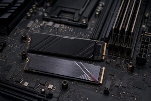
We generally recommend an NVMe SSD as the main drive and, for higher-end systems, a second NVMe SSD dedicated to active projects and scratch data. This keeps operating-system activity separate from processing traffic. Maintain free space as well; any SSD performs and manages itself better when it is not packed to the last few gigabytes.
High-capacity hard drives still have a place for economical archives, but they are not a substitute for fast active storage. If several staff members access shared data, a well-designed server or NAS with 10GbE can be more useful than trying to place every project on each workstation.
Not always. A mainstream desktop platform is excellent for many GIS systems, especially those using one GPU, 32GB to 128GB of memory, and a few NVMe drives. It is often the right choice for individual analysts and standard office deployments.
A workstation-class platform becomes worthwhile when you need very large memory capacity, many high-speed drives, multiple expansion cards, advanced networking, multiple GPUs, or a CPU with substantially more cores. The point is not prestige. It is having enough memory channels, PCIe connectivity, and physical expansion to support the machine you actually need now and later.
“GIS workstation” is a broad description, not a complete specification. Two people using the same GIS application can need very different systems: one may create parcel maps and reports, while another processes aerial imagery, manages dense elevation data, and works in 3D all day.
Before buying, identify your main applications, typical project sizes, data types, display setup, local versus network storage, and the tasks that cause the most waiting. That information leads to a far better configuration than selecting components from a generic checklist.
Overclock Computers can help configure a custom workstation PC around your GIS software, active datasets, processing workflow, expansion needs, and budget. If you are replacing an aging technical desktop or standardizing systems for a team, contact us with the applications and project types your staff uses most. We will help translate that workload into hardware that makes practical sense.